This is an old revision of the document!
Table of Contents
Main Menu
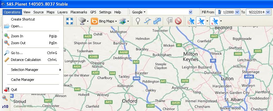
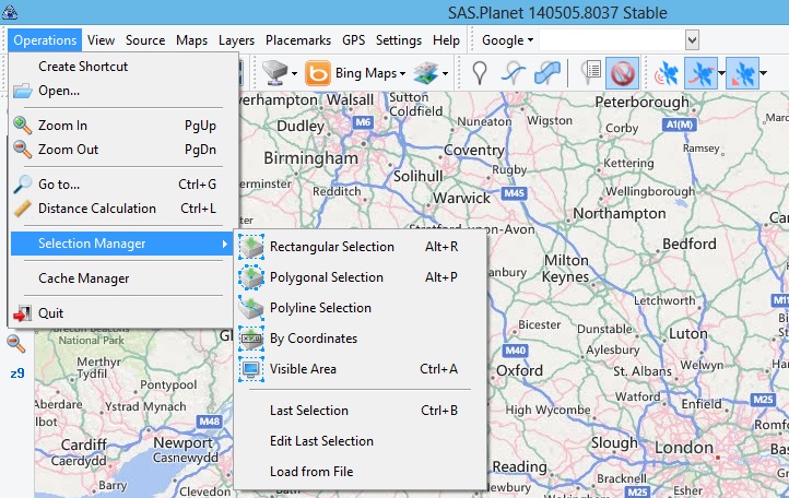
Tab "Operations"
Create shortcut - to save a shortcut file to the current state of the program (map, coordinates of the center). Saving shortcuts lets you run the program to quickly navigate to the desired point on the map.
Open - Select the file to open it with a program. There is a list of supported file types including .kml and .kmz.
Zoom in - increase the map scale. It is possible to assign to the operation hotkeys.
Zoom out - inverse operation of ” Zoom in”. It also supports hot keys.
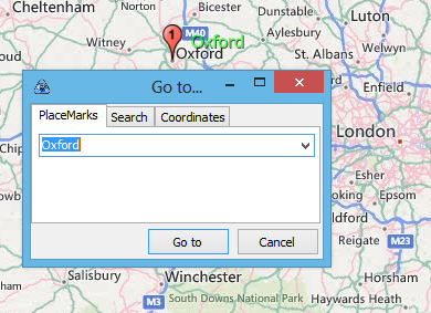
Go to … - jump to a specific point.
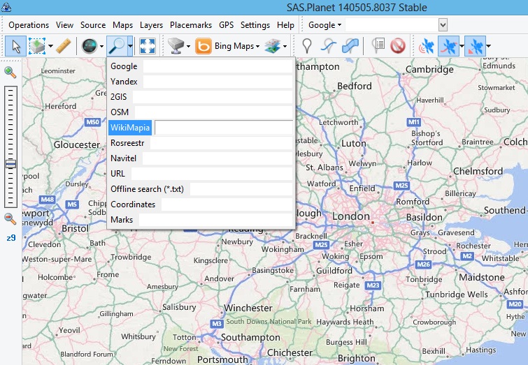
The point can be specified as a saved Place Mark, as the name issued for the search services of Google or Yandex, as well as geographic coordinates. SASPlanet supports all formats of input coordinates. Specifies the scale at which the jump occurs. Jump to the point found by search engines, can also be made by means of Tool - Go To.
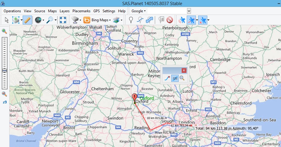
Distance calculation - the distance measurement in a straight line between these points. The number of points is not limited. The distance is measured between the preceding and following points, and the total from the start point to the end. Between adjacent points are drawn segments and displays a small window where you can delete the last plotted point (point in the form of a small cross on the blue line) and also hide or show captions (Page with a blue line). If captions are not hidden, then next to each intermediate point appears indicating the distance from this point to the previous and next to the last point of the inscription “Total: XXX YYY km m.” When you close the small window all inscriptions, points and segments are removed. This operation can also be performed using the Tool - Distance calculation.
Selection Manager – Selection of areas on maps.
Rectangular selection - indicate any corner of the rectangle, and by dragging and clicking the left mouse button indicate the opposite corner. If you drag hold down Ctrl, then the boundaries of the rectangle will be snapped to the tile grid current scale, and if you hold down Shift, then the boundaries of the rectangle will snap to the grid map sheets of the GenShtab (in accordance with the scale selected in the View menu - Show GenShtab Map Boundaries).
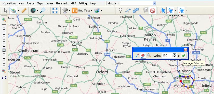
Polygonal selection - indicated points shaping a polygon. After you specify the second point of the polygon, a small window where you can delete the last plotted point (point in the form of a small cross on the blue line) or complete the polygon (green check mark). The polygon is created automatically.
Polyline selection - indicated points shaping a polyline. You can manage the polyline selection like polygonal selection.
By coordinates - the geographic coordinates of the upper left and lower right corners of a rectangular area.
Visible area - area within visible screen
Last selection - returns to the previous selection.
Download file - loads a selection that previously saved to a file.
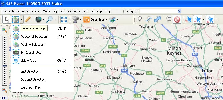
This operation can also be performed using the Tool - Selection manager.
Once the selection is created or uploaded icon will appear “Selection manager”.
Clicking on the icon “floppy disk” saves the current selection in the description file with the extension .hlg
Exit - close the program.
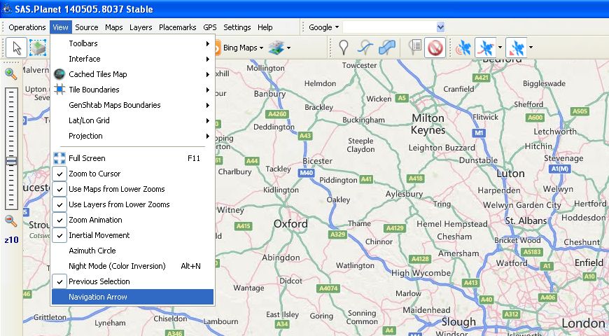
Tab "View"
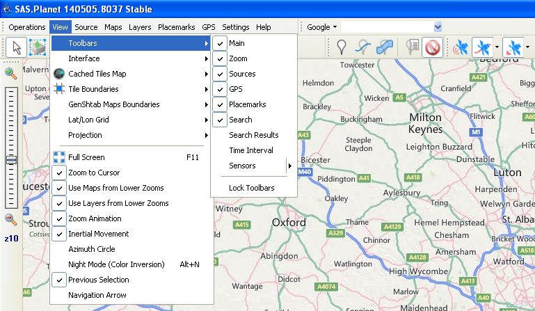
Toolbars - select Toolbars.
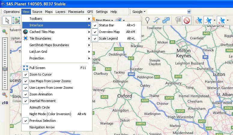
Interface - Select the interface elements are displayed.
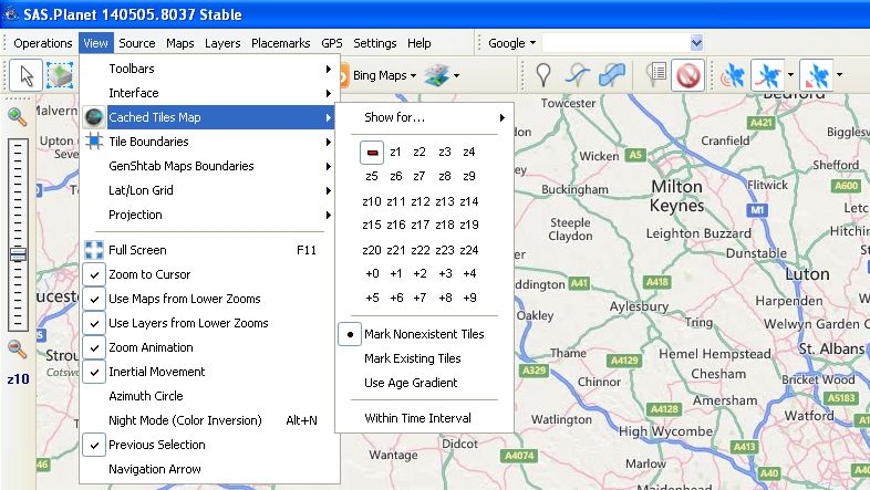
Cashed Tiles Map - with the help of the highlighting shows the presence and absence of the program cache tiles that fill the region bounded by the display screen.
For the current map, you can select the scale for which you want to fill the map or cancel.
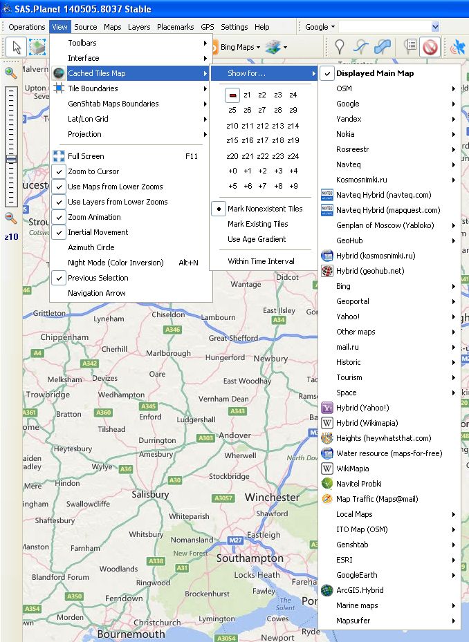
Show for … - map selection or layer, that creates the map.
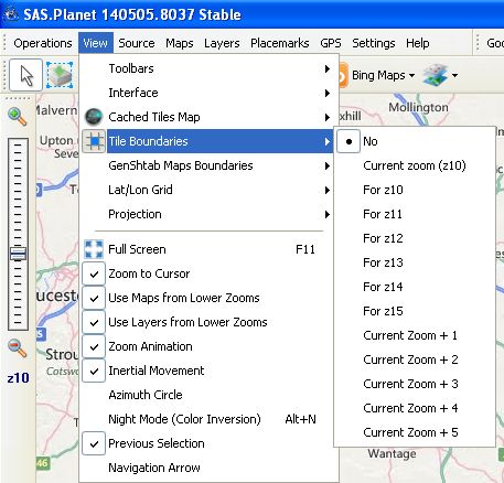
Tile Boundaries - outlines of tiles displayed on the screen and their numbers horizontally and vertically.

